
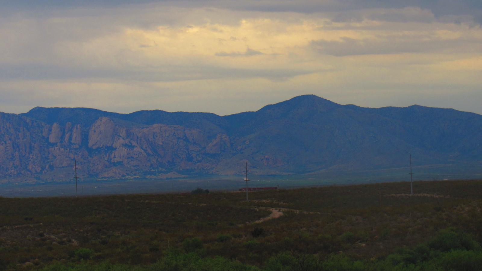
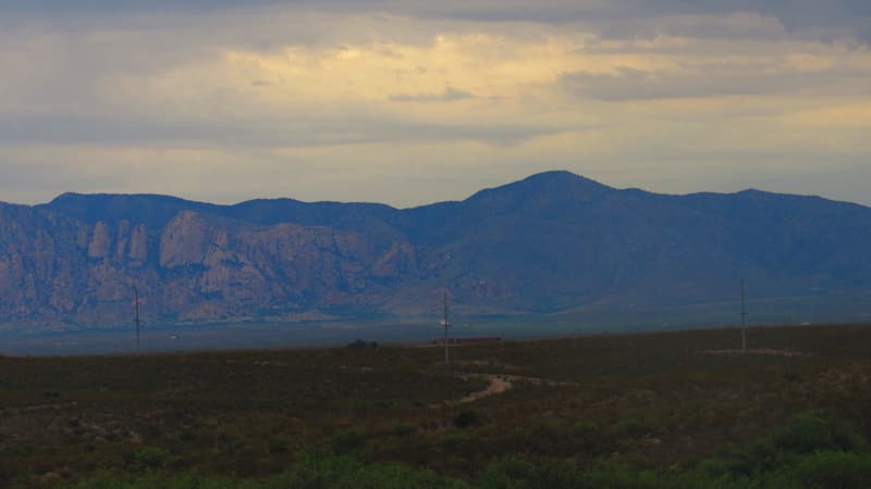
The Dragoon Mountains are a distinctive small range in Cochise County, southeastern Arizona, north of Tombstone. The highest point, Mount Glenn, rises to about 7,500 feet. The range is named for the 3rd U.S. Cavalry Dragoons, who fought the Chiricahua Apache here and set up posts in the area around 1856. The Chiricahua Apache had traditionally roamed this country.1
From Tombstone you can see the Dragoons across the desert to the north, and we’ve always been fascinated by them. Here is some of their history, and the story of a back-roads Jeep trip that finally took us up close.
History of the Dragoon Mountains
Cochise Stronghold
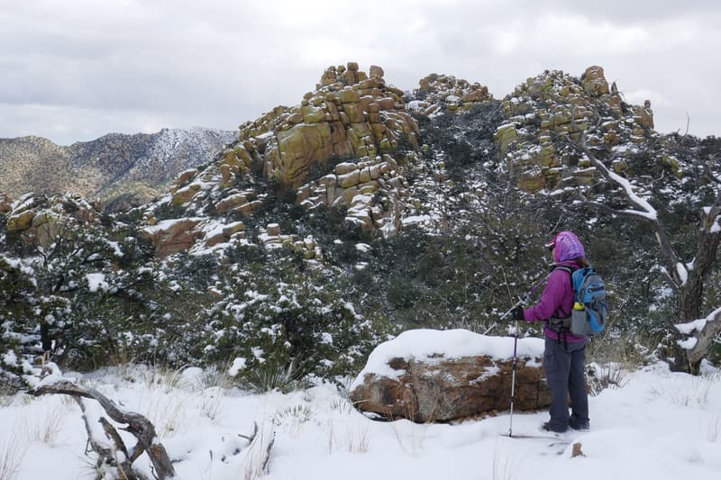
The Apache leader Cochise is known for making camp in these mountains, and he is buried here in a secret spot. At Cochise Stronghold, the Cochise Trail climbs from the campground up to Stronghold Divide. We’ve hiked it, and it’s not too strenuous. When we reached the top, we could see why it was such a favored spot: the views over the valleys on either side let the Apache see enemies approaching from miles away.
Dragoon Springs Stage Station
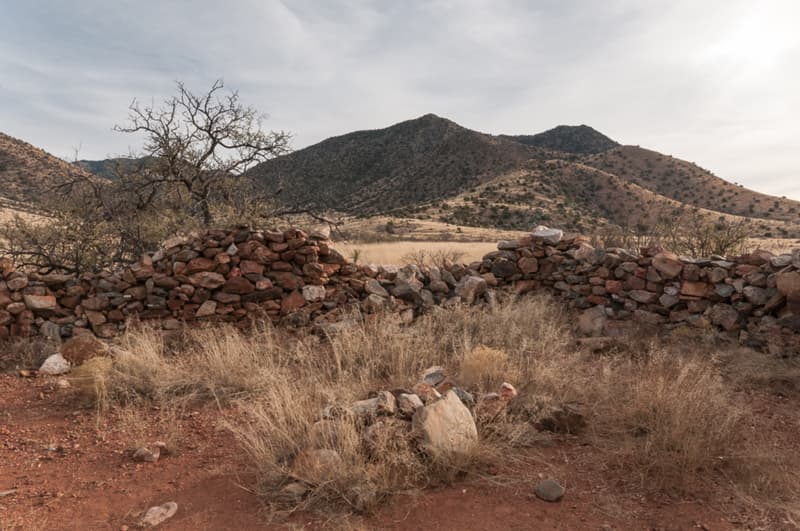
Many events of Old West note happened among these boulder-strewn ridges. One of the grimmest was at the Butterfield Overland Mail’s Dragoon Springs station. In September 1858, while the station was still being built, three of the hired laborers attacked the builders with axes, killing three men and badly wounding Silas St. John. The ruins and graves are a couple of miles southeast of the small town of Dragoon.1
News from the Dragoons
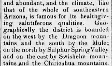
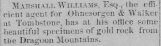
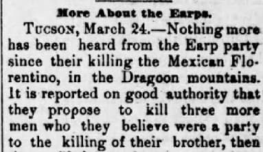
The people of Tombstone regularly read reports from the Dragoon Mountains, from mining finds to the manhunts that followed Morgan Earp’s murder.
Our Back-Roads Trip into the Dragoons
Looking Across at the Dragoons
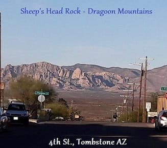
The Dragoons have a unique look, with all their rocky surfaces. There are good hiking trails, historic sites if you know where to look, and great places for rock climbing.
From Tombstone, one rock formation stands out: Sheep’s Head. To me it looks like the side view of a resting sheep. Bill can never quite make it out, but then his eyesight isn’t that great.
It always made me curious. I wanted to get closer and see how that formation was made. Would it look the same up close, or disappear entirely? For years we never even tried to find out how to get there.
A Preview Drive with Tombstone Adventure Company
Then we met Caprice of Tombstone Adventure Company through our Tombstone Facebook page. She was an experienced guide who had started a local company offering hiking, rock climbing and rappelling in the Dragoon Mountains part of Coronado National Forest. Her guides were certified Wilderness First Responders and Certified Interpretive Guides.
Caprice invited Bill and me on a preview of her new “Scenic Sunset Drive” before it launched. She was happy for us to bring our daughter Shannon and her husband Fred. It was Shannon’s birthday, so we made it a birthday surprise for her.
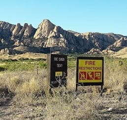
We set off with enough time to reach a good spot before the sun set behind the mountains. I rode with Caprice in one 4×4 Jeep, and Bill, Shannon and Fred rode with her partner Joshua in the other. Caprice talked about the history, the mountains and the terrain, pointed out landmarks, and we stopped for photos along the way.
And finally I got to see Sheep’s Head Rock up close, and watch how it changed as we got nearer.
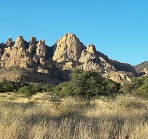
Traveling to a Sunset View
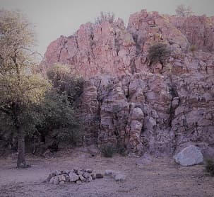
We traveled about 10 miles on rough back roads. Because we took it slowly, it seemed longer, but we didn’t mind: these were new views of the Dragoons for us.
We watched the colors on the rocks change as the sun sank, even more than in the usual Arizona sunset. Caprice explained that the colors come from the minerals and growths on the rocks.
Cows and calves grazing along the way added to the Western ranch feel. It’s open range.
We reached a fine spot for the sunset and all got out. I roamed around looking for the best scenery shots. Joshua, the rock-climbing expert of the pair, explained the climbing in the area; Caprice was the hiking expert. He was good at helping even novices feel secure.
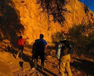
Sunset in the Dragoons
I got quite a few beautiful pictures. I loved seeing places I normally wouldn’t get to or even know about, and that’s what’s so good about a guided trip like this: a guide adds so much to the experience. Trips like this also give visitors to Tombstone something beyond the saloons and gunfight shows, and a reason to make their visit more than a day trip.
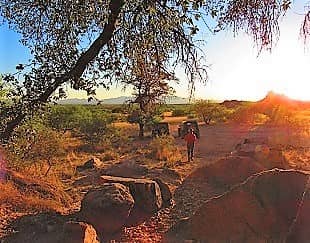
Arizona sunsets are always worth watching. That evening the sky was completely clear; for a truly exceptional sunset we like a few clouds to catch the color. There’s a scientific reason for Arizona’s superb sunsets, which we explain in our Tombstone weather guide.
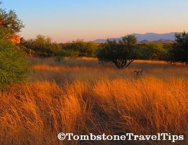
We really enjoyed our trip into the Dragoon Mountains. To find a guided hike, climb or drive in the area, see the guides listed on our Tombstone tours page. And if you know of other things to do around Tombstone and Cochise County that we should cover, please let us know.
References
1 Granger, B.H. (1983). Arizona’s names (X marks the place). Tucson AZ: The Falconer Publishing Co.
No comments yet